Canadian utility discipline.
Built for Mexican infrastructure.
25 years rebuilding records, modernizing GIS platforms, and hardening safety workflows for Canadian electric, gas, and water utilities — now applied to the utilities modernizing Mexico's grid, pipelines, and municipal networks.

Four disciplines. One integrated practice.
Utility GIS Implementation
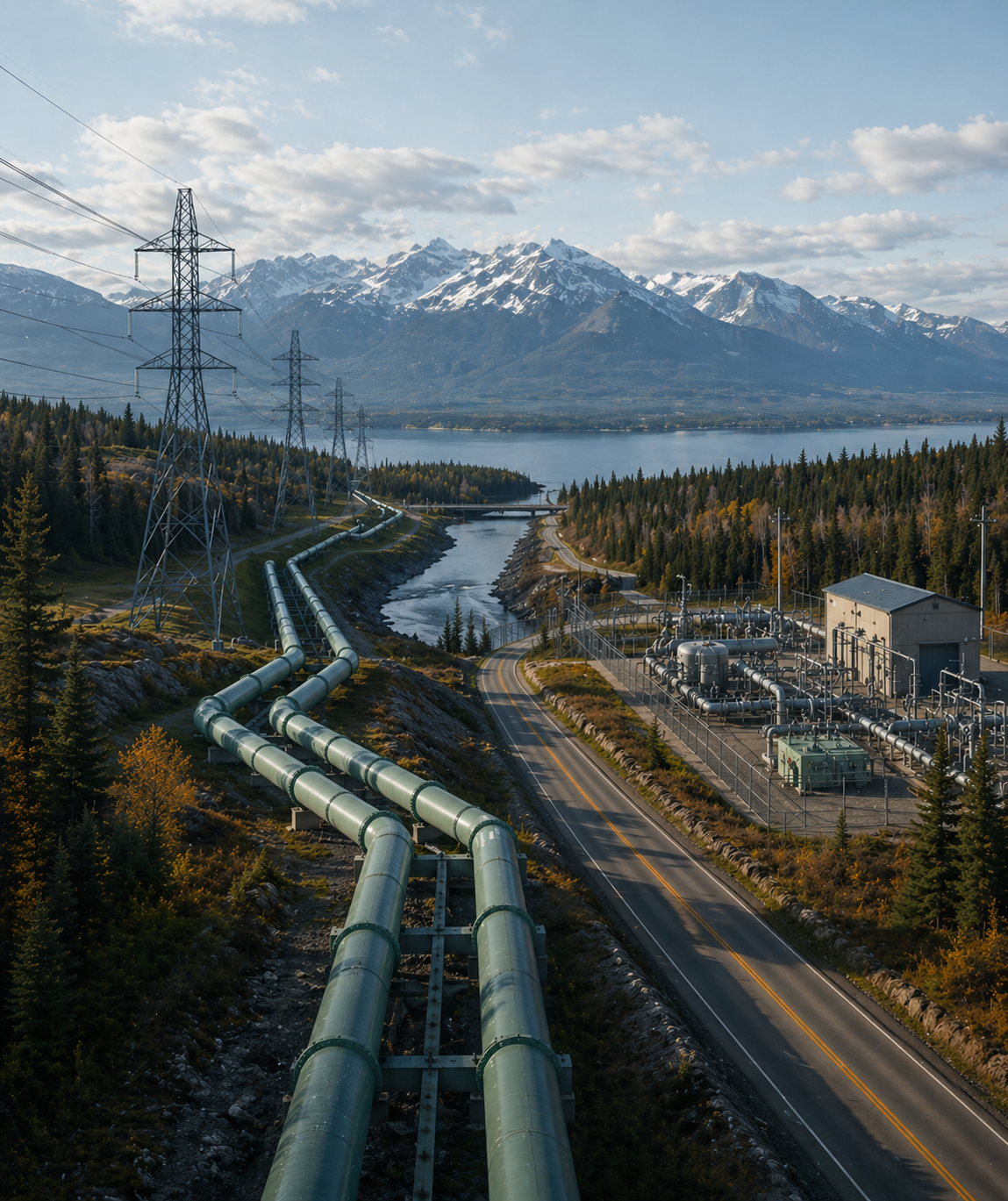
ArcGIS Utility Network deployment. UPDM schema design. Migration from legacy CAD, geodatabases, and paper records. Integration with ADMS, OMS, and SCADA.
Asset Records & Data Governance
Records reconciliation. Data quality audits. As-built capture workflows. Metadata and governance frameworks. CMMS/EAM integration with Maximo, SAP, and Cityworks.
Field Operations & Safety
Mobile GIS rollouts with Field Maps and Survey123. Locate and damage-prevention workflow design. Inspection programs. Crew training and adoption.
Advisory & Training
GIS strategy roadmaps. Governance frameworks. Fractional GIS leadership. Knowledge transfer programs for utilities building internal capability.
Proven discipline. Transferred, not imported.
Canadian utilities operate under some of the most demanding conditions in the world: extreme weather, vast service territories, strict provincial regulators, unionized field workforces, and public accountability for every outage.
The playbooks that emerged — damage prevention, one-call systems, UPDM-aligned records, disciplined as-built workflows — are directly transferable to the challenges Mexican utilities face today as they modernize.
We're not importing a foreign product. We're transferring proven discipline, adapted to local context, regulation, and workforce reality.
From the field.
Why Mexican utilities are sitting on a records crisis — and what it's costing them
Infrastructure data problems accumulate quietly for years until an outage takes three times as long to fix, or a regulator asks a question nobody can answer.
Read article →The governance failure behind most failed GIS implementations
When a GIS program fails, the post-mortem almost always blames the technology or the vendor. The real failure is usually visible in the org chart.
Read article →How to scope a GIS data audit: what to ask, what to expect
A GIS data audit is usually the right first step when a utility suspects its records are unreliable but can't quantify the problem.
Read article →Two ways to start.
Download the capabilities deck.
A detailed look at our services, methodology, and representative projects. Useful for sharing internally before a conversation.
Request Deck→Start a conversation.
Tell us what you're working on — records rebuild, UN migration, field rollout, governance. We respond within one business day.
Contact Us→